In Vietnam's retail and F&B industries, businesses typically hold enormous CRM datasets: phone numbers, purchase history, membership tiers, favorite menu items. We know our customers well — who they are and what they like. But as a chain scales from 10 to 50 to 100 outlets, a new data gap begins to surface: we don't truly understand where customers are in relation to our stores.
The consequences are quiet but costly: an F&B outlet accepts a delivery order 3km away but must take a congested detour over a bridge that adds 20 minutes; a new storefront is leased at premium rent but sits against the flow of commuters heading home; millions of CRM records become fragmented overnight when the city renames wards or merges districts.
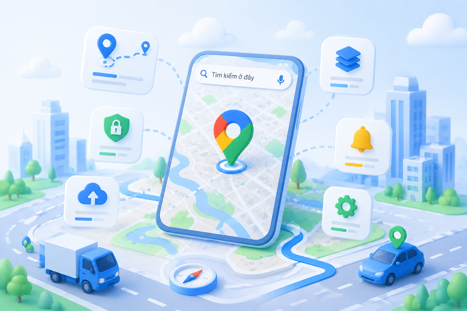
This article explores 5 operational and network-development challenges that retail chains, mini supermarkets, and F&B brands in Vietnam are solving with local map data — rather than relying on intuition alone.
Many F&B and convenience store chains with in-house delivery teams define their service zones by drawing a 2km or 3km radius circle around each outlet. On screen, that circle looks neat. On Vietnam's actual road network, it often produces impossible routes.
A customer within a 2km radius "as the crow flies" may be cut off by a canal, a one-way street, or a construction barrier. Delivering that order could require a 5km detour, taking 20 minutes — and the food arrives cold. Meanwhile, a different outlet that is technically farther away lies on a straight, clear road and could have served the customer faster.
How to solve it: Instead of radius circles, modern chains are switching to isochrone mapping — delivery polygons based on actual travel time. The system calls a routing API to draw a polygon encompassing every point reachable within, say, 10 minutes by motorbike. Bridges, dead-end alleys, and one-way streets automatically shrink the polygon where needed. When a new order arrives, the system checks which outlet's polygon contains the customer's coordinates and routes accordingly.
Operational value: This approach not only reduces delivery time but permanently resolves the "overlap zone" problem between nearby branches — no more dispatchers from one outlet crossing into another's territory and wasting internal resources.
Opening a new outlet is always the most expensive and high-risk decision a retail chain makes. The traditional approach relies on on-site surveys: counting foot traffic, noting proximity to markets and schools, and leaning heavily on the experience of the real estate development team.
By the time a chain reaches its 50th outlet, instinct alone is no longer reliable enough to maintain a consistent success rate. Businesses need quantified data. A busy intersection may seem ideal, but if it has no parking and sits on a fast-moving transit lane, conversion rates will be lower than a quieter spot in the middle of a dense residential neighborhood where people actually stop and browse.
How to solve it: Integrate a Search API or Places API into the site evaluation process. The development team drops a pin on a candidate location, draws a 500m radius, and lets the system automatically count: how many secondary schools, how many office buildings, how many direct competitors, and how many of the chain's own existing branches are already nearby (to avoid internal cannibalization).
COO perspective: An F&B outlet targeting high school students needs to be within walking distance — within 300m of a school gate — and on the side of the street students take on their way home. Location data lets the team filter candidate sites that meet both conditions simultaneously before anyone drives out to inspect them in person, saving weeks of fieldwork.
Every month, customers receive dozens of Zalo messages, SMS alerts, and push notifications about discounts from various brands. Most are ignored — wrong timing, inconvenient location. A "buy one get one free" offer is hard to act on if the nearest outlet is 10km away.
Location data transforms marketing campaigns into contextual experiences. When a brand's app supports geofencing, the system can identify loyal customers who are currently within 1km of a newly opened outlet and send only that segment a targeted notification: "You're just around the corner from our new branch — come in now and get 20% off."
The combination of CRM data (who the customer is, what they like to buy) and location data (where they are right now) creates precisely timed touchpoints. Messaging costs drop because the audience is narrowed, but conversion rates climb because the offer is genuinely convenient.
This is a challenge unique to Vietnam. When Thu Duc City was formed by merging District 2, District 9, and Thu Duc District — or when hundreds of communes and wards across the country were renamed and consolidated — retail businesses' customer databases became outdated in a single night.
Without re-standardization, the system treats "District 2" and "Thu Duc City" as two separate delivery regions. Revenue reports broken down by district suddenly fragment. Customers entering addresses by old habit cause the system to miscalculate delivery fees. A CRM database of several million users, if corrected by hand, could take months of continuous work.
How to solve it: Use batch geocoding combined with the latest administrative boundary data to automatically re-process the entire database. The system scans old address strings, identifies their current coordinates, then uses reverse geocoding to map those coordinates against the new ward and district boundaries. A database of 500,000 customers can be cleaned and fully standardized to current administrative divisions in just a few hours.
Finally, location data is not just for processing individual orders — it reveals the broader pattern. When a retail chain plots the coordinates of all delivery orders from the past six months onto a heatmap, "hot zones" emerge: dense clusters of orders with no nearby outlet to serve them efficiently. These are ideal white-space opportunities for new locations that would reduce shipping costs and improve delivery speed.
Conversely, the map also exposes "cold zones" where two or three branches are effectively competing for the same narrow customer base. Looking at spreadsheet numbers, each branch may still hit its KPI. But on a spatial map, the overlap becomes immediately visible — and the company can start making smarter decisions about relocating or consolidating outlets.
Data as a hidden asset: For a chain at sufficient scale, the accumulated coordinate data from past deliveries is the most accurate expansion roadmap it will ever have — one no market research firm can replicate. It reflects the actual, real-world demand of the chain's own customers.
The shift from "knowing who your customers are" to "understanding where they are" is an inevitable step for retail and F&B chains that want to optimize operations rather than simply expand without direction. At the infrastructure level, this requires a digital mapping platform with deep knowledge of Vietnamese geography, administrative place names, alleyways, and local traffic patterns.
With a suite of APIs spanning Geocoding, polygon routing, and Places data, MapVina provides the building blocks for retail chains, supermarkets, and F&B brands to build their own internal location management systems — owning their spatial data rather than depending entirely on external platforms.
Chat with MapVina to discuss your location data challenges, or explore the API documentation to start integrating local map intelligence into your operations.
Moving this industry forward requires not only skill, talent and expertise, but also imagination. All are welcome.